This is Scott Amyx with today’s Climate Change Flash Briefing.
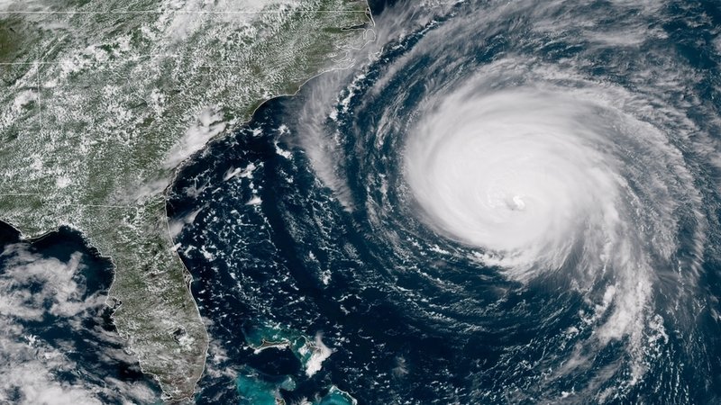
This winter in the East Coast has felt more like a mild Fall rather than a snowy winter. Warmer average temperatures and lots of rain. Some North Carolina residents, for instance, have yet to recover from 2016 Hurricane Mathew when Hurricane Florence in September dumped more than 30 inches of rain. Tens of thousands of homes were flooded. A few weeks later, Hurricane Michael brought even more rain to North Carolina with winds of 155 mph, knocking out power to thousands and causing massive flooding. Hurricane Michael was among the strongest hurricanes on record to strike across the Southeast.
According to the National Oceanic and Atmospheric Administration or NOAA, the 2018 Atlantic hurricane season produced 15 storms (compared to the average 12 storms), including 8 hurricanes of which two — Florence and Michael — were Category 4.
What was the cause? The Atlantic ocean temperatures warmed up sooner in August and remained warm into September and El Nino didn’t form as the models predicted, which would have a suppressing factor on the season. In September, a tropical cyclone or three simultaneous hurricanes — Florence, Helene and Isaac — formed in relatively close proximity and timing in the Atlantic. Central North Atlantic had record-warm ocean temperatures and also record-weak vertical wind shear, contributing to the overall strength of the hurricane season.
Stay tuned next time to find out why the West Coast had the deadliest and most destructive wildfires on record.


